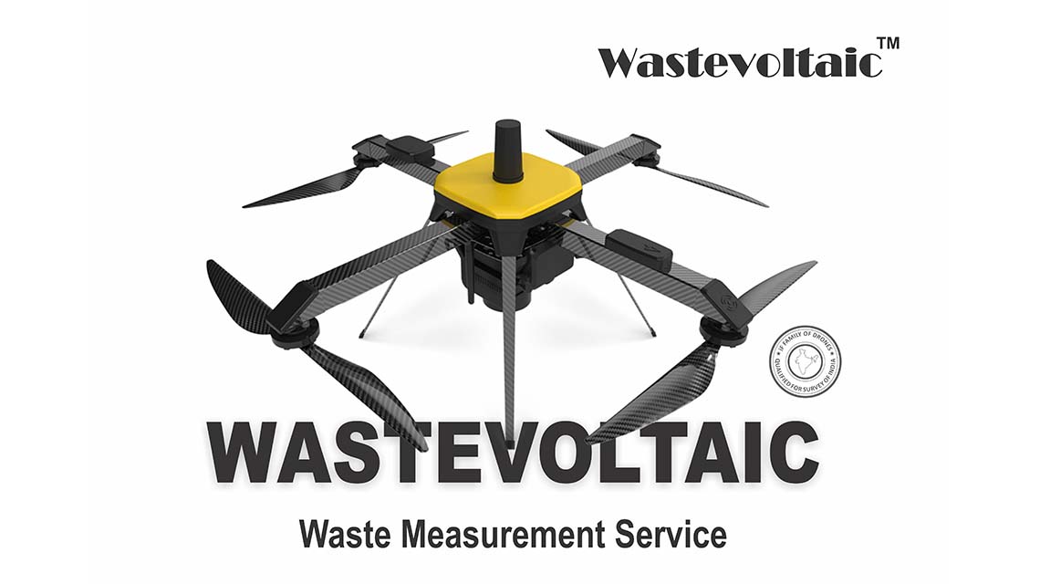

Zero Waste Management is in collaboration for drone mapping & Survey with Wastevoltaic™. We have micro category survey-grade drone designed and specialized for mapping applications. It is equipped with an advanced mapping payload. The drone has state-of-the-art- PPK module to deliver superior results. Due to its high accuracy in mapping applications, it is the only micro category drone that has been approved by the Survey of India (SOI) towards the Swamitva Yojana, which is set to be one of the largest drone-powered mapping projects in the world.
Dumping sites of municipal solid waste has many challenges in maintaining and managing, such as landfill monitoring & inspection, calculating volume, segregation planning and reporting. An advanced and latest survey and mapping technology through drone makes the task easy and accurate in managing such issues. Drone survey generates high resolution images and up-to-date data and volumetric status of landfill sites. With our drone survey report, the planning and execution for remediation of landfill becomes easy and accountable
Wastevoltaic has latest DGCA approved survey grade drone with trained and licenced pilot and back office staff to operate, manage and generate real time data for solid waste landfill sites pan India.
Our drone survey has an accuracy of <10 cm in X & Y axis & <20 cm in Z axis. Compared to traditional method of landfill survey, our drone reduces up to 80% surveying and mapping time and up to 60% of surveying and mapping cost, making it most viable and affordable.
Out drone safely conducts surveying operations in tough weather and terrain conditions and unreachable areas, with real time status with high resolution images and geometric and volumetric data of the landfill.
Solid waste management agencies can collaborate with Wastevoltaic for drone mapping service for monitoring,inspecting and calculating area & volume of MSW landfill and get the most accurate imagery and data report.
Reports generated by the drone:
- Track and record aerial images of landfill with its dimensions.
- Propose a plan for segregation and remediation of solid waste.
- Continuous periodic monitoring of the landfill for contract period.
- Submit periodic waste volumetric reports of activity on the landfill site.
- Provide updated digital images of every periodic status of the landfill site.
